 vesseltracker.com
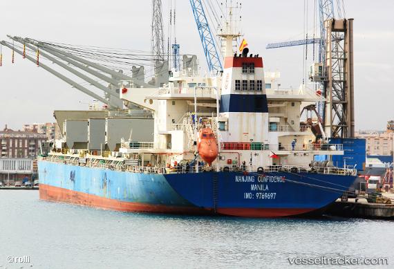
Vessel 255727000 IMO: 9769697, MMSI: 255727000
UTC, -29.91768, 36.46932, course: 256, speed: 9.8
UTC, -30.06079, 35.98190, course: 257, speed: 10.9
2026-02-12 13:55:41 UTC, -30.17772, 35.58118, course: 252, speed: 13.3
Live AIS position:
UTC. 197 nm SE of Richards Bay),
updated 2026-02-12 13:55:41 UTC.
Find the position of the vessel 255727000 on the map. The latter are known coordinates and path.
marine traffic ship tracker show on live map
The current position of vessel 255727000 is -30.17772 lat / 35.58118 lng. Updated: 2026-02-12 13:55:41 UTCDetails:
Last coordinates of the vessel:
UTC, -29.84667, 36.71167, course: -1, speed: 9UTC, -29.91768, 36.46932, course: 256, speed: 9.8
UTC, -30.06079, 35.98190, course: 257, speed: 10.9
2026-02-12 13:55:41 UTC, -30.17772, 35.58118, course: 252, speed: 13.3